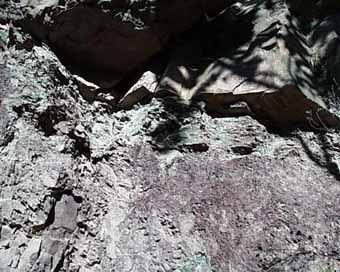
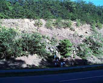
 Unlike many of the formations we visited where the structures are diminutive and easy to see in a hand specimen, the structure of the Hampshire is mega scaled. The alternating sandstones and shales are measured in meters of thickness, and structures tend to me large scale, although small trough cross laminations are also present.
And frankly we had trouble finding many structures to see here. Weathering is taking its toll, but in various parts of the outcrop are large trough cross beds (foresets a few decemeters high), mud pebble conglomerates, scoured bases, root traces, small trough cross laminations, etc. We could have found more if I had taken you to some of the spots where I know these things are, but that would have lengthened the stop by half an hour or more, and this being the last stop of the day, we had had enough. Besides, the Briary Gap outcrop has lots of these structues we will see.
The second picture down, by the way, was under the main channel sand we were looking at. The blocking weathering in the silts are soil peds, indicating this area was exposed before the channel finally swept across the area and buried the soil.
|

