| HARRISONBURG-NEW MARKET
Exit247B
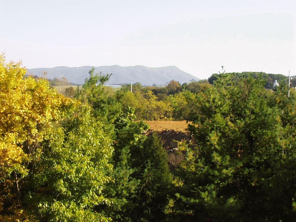
 Just after exiting the ramp onto 81 North, a glance out the passenger window, aimed a little back, reveals a sloping mountain topped with a radio tower. Skiers may thank geology for their weekend fun because Massanutten Mountain and all its ski slopes provide the southern tail of a large ridge extending from northern Virginia known as the Massanutten synclorium. Although this peak is visible only for a moment after the exit, the ridge follows 81 all the way to the junction with route 66E. Compared with the flat fields of the Valley, Massanutten seems out of place and, in a way, it is. The synclorium lies on the upthrust (west) side of the Pulaski- Staunton fault. The action of this fault disturbed the sequence of beds, placing older rocks on top of younger rocks.
The composition of Massanutten, therefore, is different than that of the Valley. Among the strata of Massanutten are the Martinsburg Formation, the Massanutten Sandstone, and the Bloomsburg Formation. Comprised of varying amounts of sandstone, siltstone, slate, and argillite, these formations share the quality of resistivity. The Massanutten Sandstone (made of quartz sandstone, whose tiny quartz grains have a mighty crystalline structure) caps the ridge near Harrisonburg, serving as armor against the erosional
processes of rain and natural chemicals that feed so easily on the Valley's unprotected limestones.
Besides the composition of the strata, Massanutten exists because of the folding process it experienced. Imagine pushing together the ends of a horizontal stack of papers. They curve into a U shape, with the top piece visible in the center of the U and the bottom piece visible on the outsides of either end. Rock layers work the same way. Compressional forces pushed flat-lying rock layers together into the U shaped Massanutten
syncline, and the top-most layer,
the Massanutten Sandstone, squished into
the middle of the U, making that space difficult to penetrate. Less
resistant layers make up either limb of the fold, and over several
hundred million years they eroded away, leaving only the core axis of the fold, visible today as the Massanutten Ridge.
MM 251.5
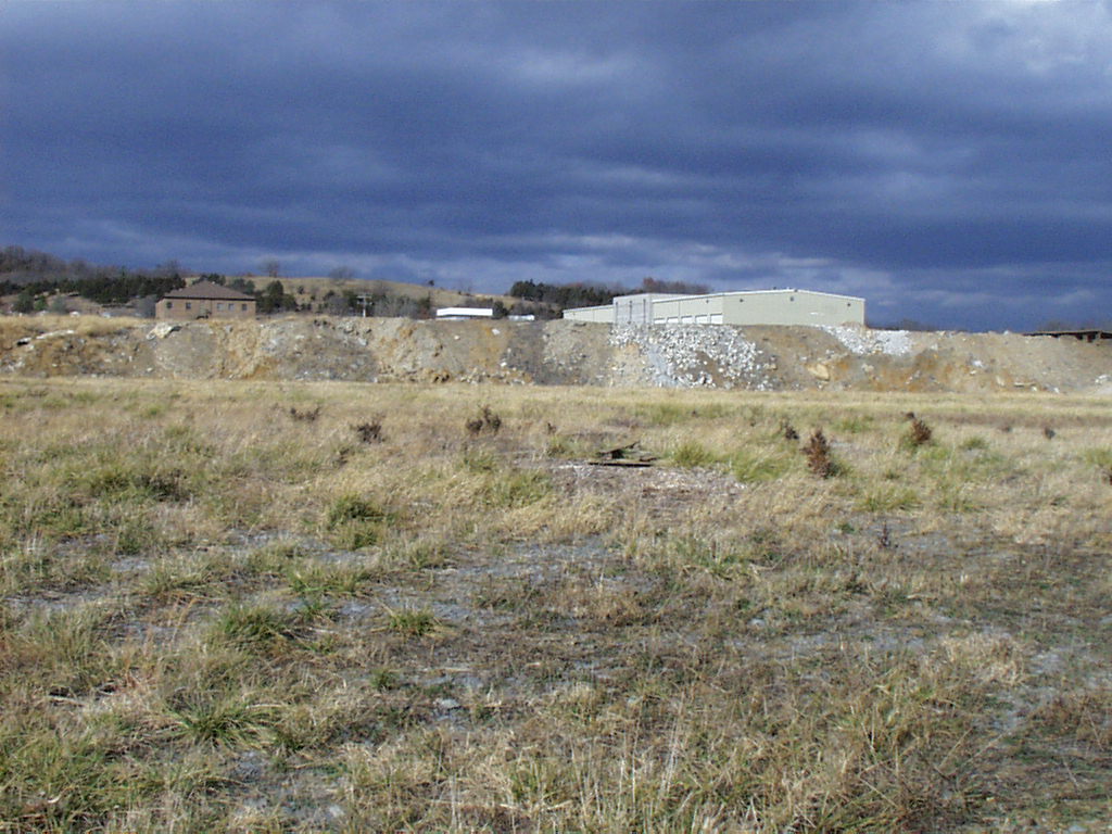
Unlike the resistant clastics of the Massanutten ridge, Shenandoah Valley hosts an array of carbonates, rocks deposited in ocean environments rather than above sea level. A field visible to the west (driver side) just after mile marker 251 shows a man made outcrop, a window into the carbonate composition of the Valley. Driving by, the outcrop looks nondescript, but a closer examination shows one of the area's best exposures of the Liberty Hall limestone, a member in the Edinburg Formation.
Conchoidal laminations and randomly oriented fossil fragments in this grey limestone show that the beds were deposited on an underwater slope. Sediment accumulation here caused occasional slumps, and underwater avalanches would tumble the layers into the disorder evident in the photograph.1
Exit 257
This exit funnels tourists to Endless Caverns, and the lettering of the attraction across Massanutten Mountain to the east shows its location in the Valley near the base of the ridge. A natural playground, Endless Caverns allows the adventurous a personal glimpse into the how and why of erosion and the creation of the Shenandoah Valley. Runoff and ground-water from the impervious clastics of Massanutten Mountain flows down the ridge and into the Pulaski-Staunton fault. This thrust fault begins in Rockbridge County and extends about 65 miles to the vicinity of Endless Caverns. In this area, older Cambrian-Ordovician age carbonates are "thrust" westward on top of younger Ordovician Beekmantown dolomites, disrupting
the natural order1. Without differential bedding (beds of varying competency- i.e. limestone and sandstone) the rocks would erode evenly, without forming caverns. In this area, however, resistant and non- resistant strata are both present, making it ideal for cave formation. Weaknesses formed by the fault,
and fractures surrounding the fault, provide virtual freeway access for water into the more massive units. Over millions of years the dissolution of the carbonates is transforming paper-thin weaknesses at the base of Massanutten into vast, though not quite "Endless," underground passages.
MM 259-260.
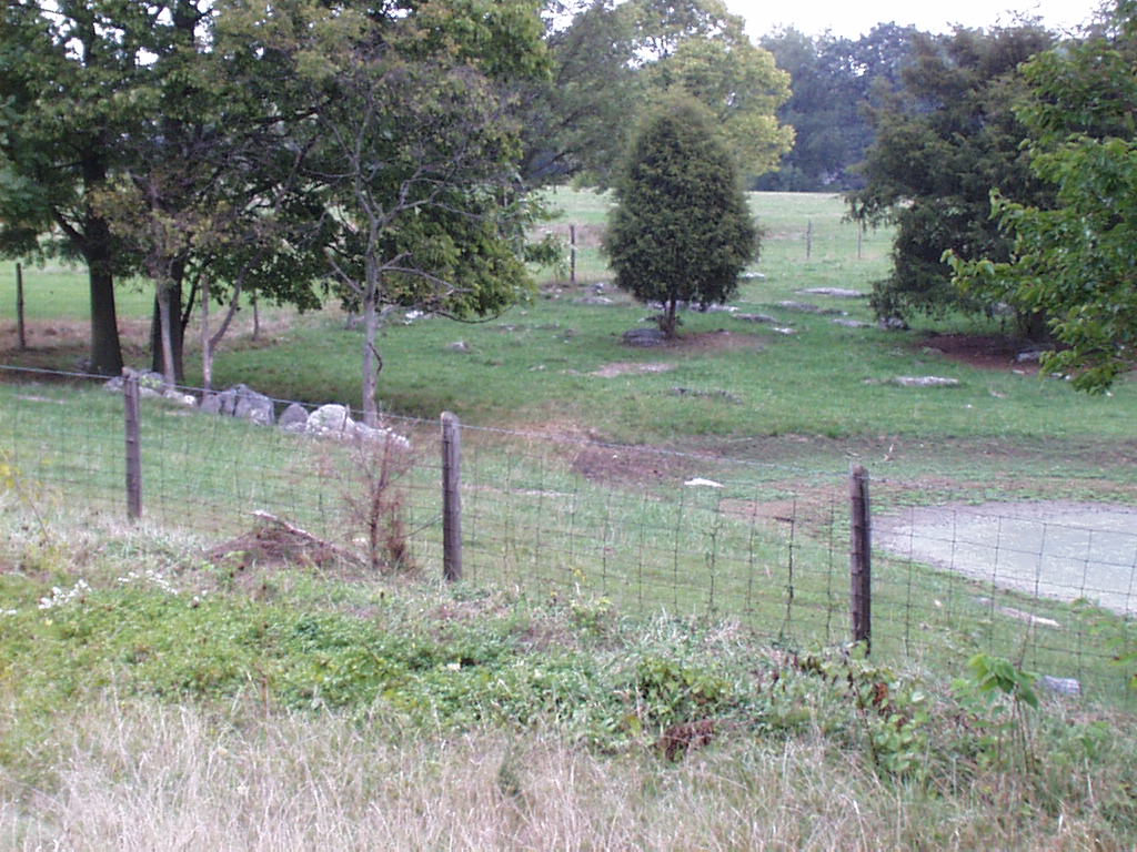
Just after crossing under the route 798 bridge, glance quickly east across a barbed fence and into a grove of trees where several outcrops of the Conococheague Formation slant towards the road. These dolomite beds contain algal laminations and fossils, picture evidence of a depositional environment quite different than the one visible from your car window. These wavy patterns relate the ancient salty air of a Divergant Continental Margin. Rifting of a supercontinent in the early Cambrian opened a Protoatlantic ocean. As the tectonic energy of this event settled, Virginia (and the rest of North America east of the Mississippi river) hosted a shallow slope of clear, tropical waters that teamed with new life. Brachipods, trilobytes, small patch reefs, and corals all thrived in this DCM, which lasted until about 450 mya1. grove of trees where several outcrops of the Conococheague Formation slant towards the road. These dolomite beds contain algal laminations and fossils, picture evidence of a depositional environment quite different than the one visible from your car window. These wavy patterns relate the ancient salty air of a Divergant Continental Margin. Rifting of a supercontinent in the early Cambrian opened a Protoatlantic ocean. As the tectonic energy of this event settled, Virginia (and the rest of North America east of the Mississippi river) hosted a shallow slope of clear, tropical waters that teamed with new life. Brachipods, trilobytes, small patch reefs, and corals all thrived in this DCM, which lasted until about 450 mya1.
MM 260
A silo rises in the backdrop of a field adjacent to the highway's right shoulder. In this field the rock units lay parallel to the highway like strips of bacon tipped on edge. These carbonate units provide an excellent example of karren landforms, a common find throughout Shenandoah Valley. Karrens are low ledges that form along the strike of soluble carbonate beds. Erosion occurs along the bedding plane of the units, destroying weak units and allowing more resistant ones to form the pinnacles visible in the field to your right.
BACK->
NEW MARKET - WOODSTOCK -> |


